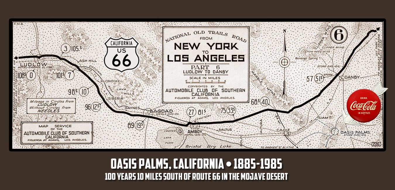
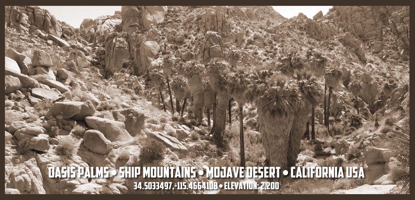
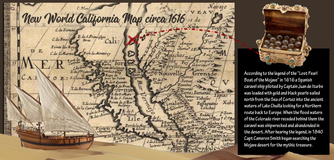
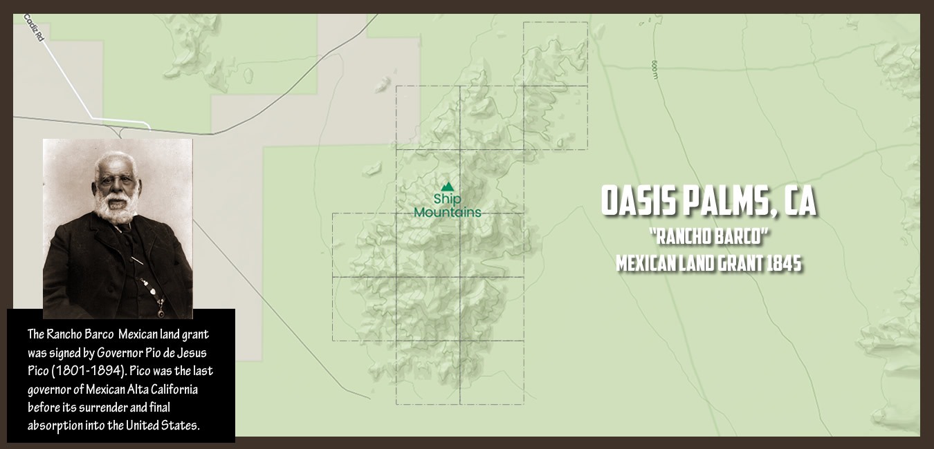
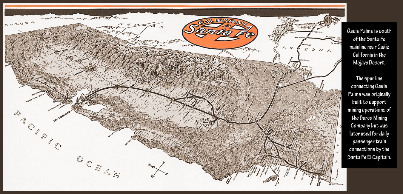
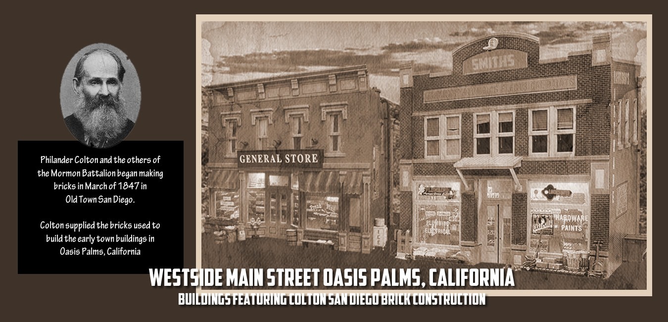
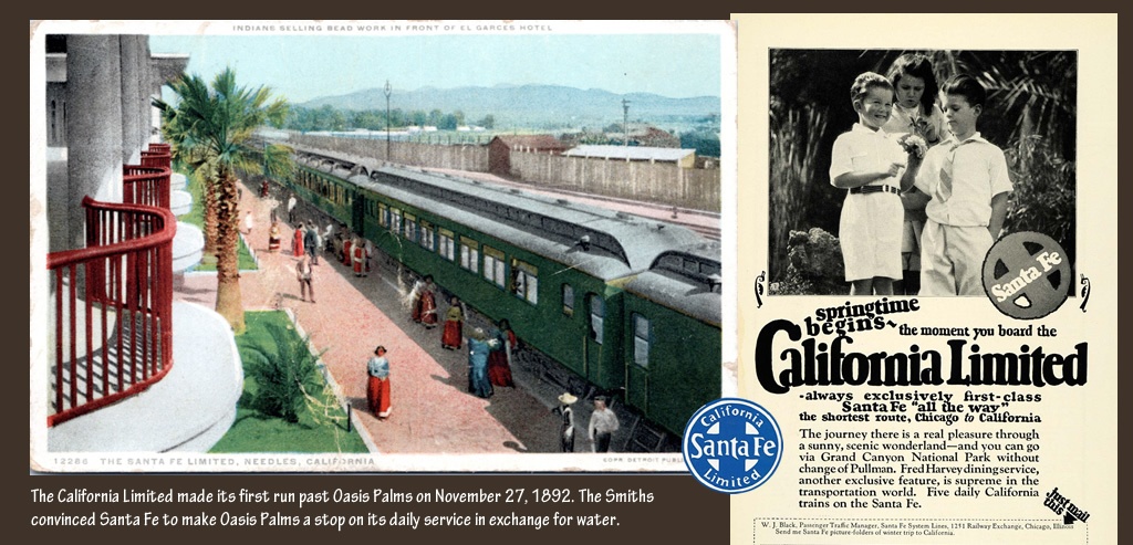
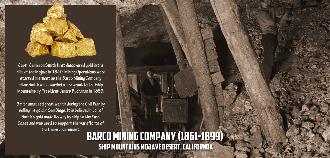
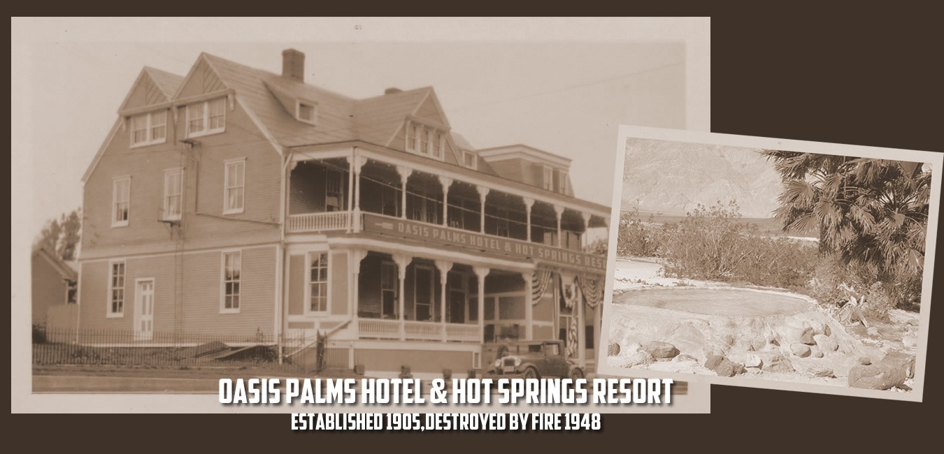
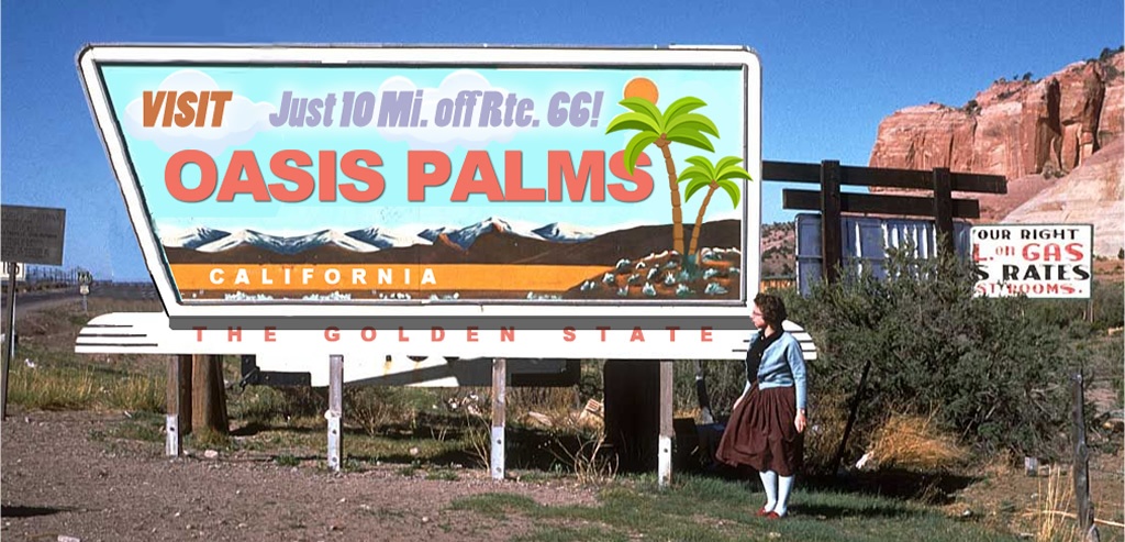
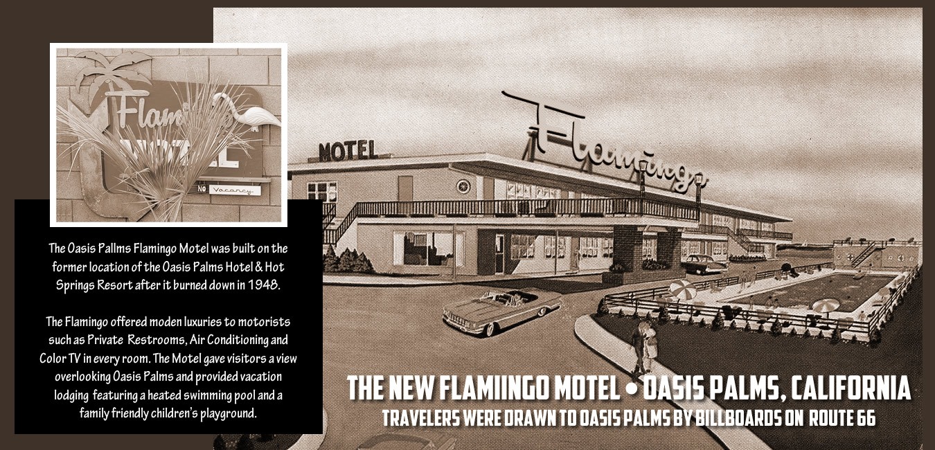
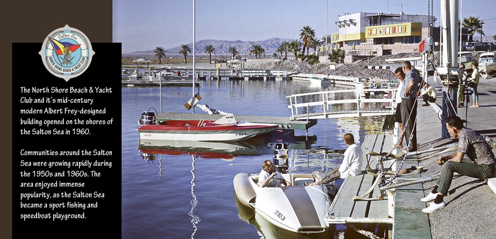
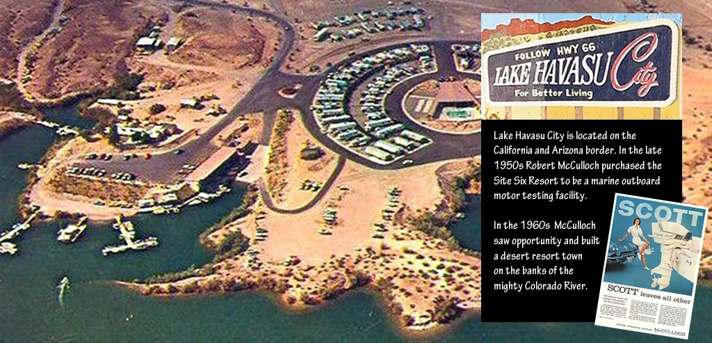
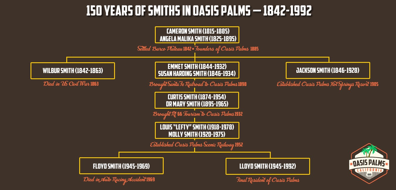
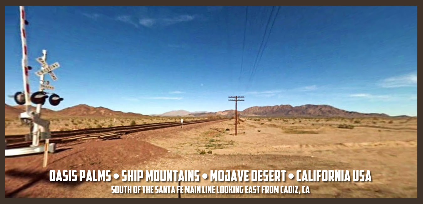
Oasis Palms, was a town located in the heart of California’s Mojave Desert in San Bernardino County nestled in a plateau in the Ship Mountains, just ten miles south of historic Route 66. This desert enclave emerged south of the Santa Fe railroad main line in the late 1800’s, near other long-forgotten Mojave Desert towns and water stops including Amboy, Cadiz, and Danby, all located along the Old National Trails Highway. This desert oasis thrived for a century and then was gone, becoming the “Lost Pearl of the Mojave Desert.”

How to Find Oasis Palms
Oasis Palms was nestled upon a plateau in the Ship Mountains, just south of the Granite Mountains and within what is now the Mojave National Preserve. Oasis Palms was once accessible by car from Route 66 to the north.
Oasis Palms is no longer accessible by automobile, but originally travelers going West on Route 66 take a left going South on Danby Road, then just past the BNSF railroad tracks right going South on Skeleton Pass Road, then a right going West on Ship Mountain Road, then a left on Old Smith Road. Travelers going East on Route 66 at Chambless would be directed to take a right going South on Cadiz Road, then just past the BNSF tracks a right on Ship Mountain Road, and then right on to Old Smith Road.
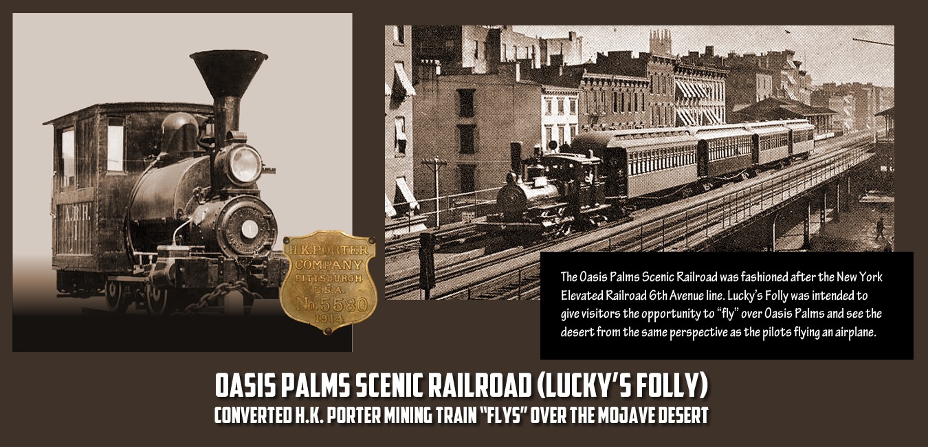
Both routes converged onto Old Smith Road, which traversed the current Vulcan Gold Mine wash and ascended to the plateau and the town of Oasis Palms. Travelers would enter town turning right onto Oasis Road passing under the Oasis Palms Scenic Railroad overpass.


